Bank Holiday temperatures may reach over 30°C before showers hit next week
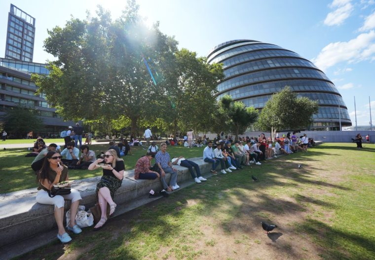
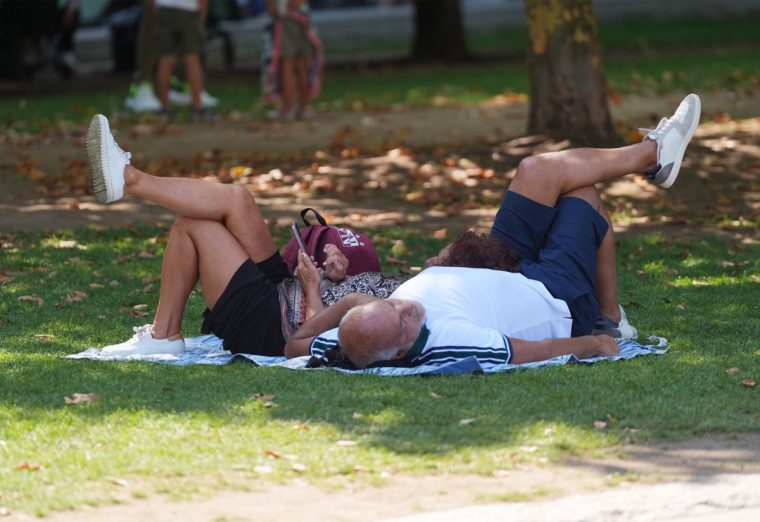
Temperatures could reach a sizzling 30°C over the Bank Holiday weekend before the remnants of Hurricane Erin bring wind, rain and big waves to the coast.
Warm and sunny spells are expected over the weekend, hitting a peak on Monday, before Erin brings more unsettled weather, the Met Office said.
The Royal National Lifeboat Institution (RNLI) is urging people to go to a lifeguarded beach where possible and beware of rough seas.
Craig Snell, Met Office meteorologist, said: “It’s looking fairly fair, it’s going to turn increasingly warm, the warmest day is going to be Monday.
“Each day there will be more sunshine developing.”
Saturday will be a mix of cloud and sunshine, with some showers breaking out in Northern Ireland, western parts of Scotland and north-west England, the forecaster said. A maximum temperature of 24°C is expected.
Sunday will be a mix of cloud and sunshine again, but possibly sunnier than Saturday, with the risk of a few showers around northern and western parts of Scotland, Snell said.
It will be a degree or two warmer than Saturday, but the sunshine will be more widespread on Monday with maximum temperatures of 29°C or even 30°C.
After Monday, more unsettled conditions are expected for next week. The remnants of Hurricane Erin will bring a return of some rain, the forecaster said.
He said: “It does stay for most of next week to the north west of the UK, so really strong winds stay offshore, the main impacts for us is it will bring a return of some rain.
“From Tuesday onwards some of the rain will be heavy so we’ll keep an eye on that. Temperatures return back down to average, low 20s in the south.
“It will be a little bit blustery. There will be some more larger waves towards the western coasts.”
Read Next: Hurricane Erin is heading to the UK – here’s how it will impact us
Chris Cousens, RNLI water safety lead, said: “We want people to enjoy the Bank Holiday and stay safe, and with this unusually big surf forecast for this time of year likely to peak later in the Bank Holiday weekend and early next week, it’s important for people to be aware so they can keep themselves and their families safe.
“Big surf means greater risk from rip currents and the swell also coincides with spring tides – which means more powerful tidal water movement at greater speed.
“The forecast is changeable, so things might look different over the next couple of days. But we do know that with the current forecast for bigger waves building and arriving towards the end and the day after the August Bank Holiday weekend, beaches are likely to be busy with holidaymakers and locals.
“If you find yourself caught in a rip current don’t fight against it or you’ll get exhausted.
“If you can stand, wade back to shore, or swim parallel to the beach until you’re free of the current, then return to the beach.
“Alternatively, if you can’t do either of those or are becoming exhausted, Float to Live to preserve your energy and then wave and shout for help.”
The heatwaves and dry weather have led to drought and hosepipe bans in some areas of the country.
Despite unsettled weather in July and many people seeing heavy rain or showers, it was still the fifth warmest on record. Then dry weather returned in August with the fourth heatwave of the summer putting extra pressure on overstretched water supplies.
Areas in drought according to the Environment Agency are Cumbria and Lancashire, Greater Manchester Merseyside and Cheshire, Yorkshire, East Midlands and West Midlands.
Hosepipe bans are in place for all Yorkshire Water customers, and parts of the regions served by Thames Water, South East Water and Southern Water.
Post a Comment for "Bank Holiday temperatures may reach over 30°C before showers hit next week"